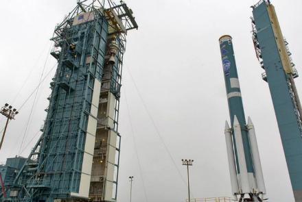
NASA plans to launch its Ice, Cloud and Land Elevation Satellite-2, known as ICESat-2, which will use an extremely precise laser to collect measurement data to track the Earth's shrinking polar ice.
The laser, known as ATLAS (Advanced Topographic Laser Altimeter System), splits into six beams and fires 10,000 pulses per second to collect very precise measurements for scientists to analyze. The satellite's orbit will take 91 days before repeating, allowing the device to measure the same locations four times a year, so scientists can see how they change over seasons.
“Basically, it uses laser beams sent from the satellite down to the earth, they bounce off the surface, come back to the satellite. We can use the two-way travel time of that laser pulse to accurately and precisely get a sense of the height of the surface of the earth. More importantly, ICESat-2 will come back and make a repeated measurement every 90 days, so we get a second measurement and we can actually assess change in height and that's what we're really after in the polar regions is looking at surface change,” said Kelly Brunt, NASA scientist.
The ATLAS will focus on two areas: changes to the earth's ice sheet and sea ice thickness change. It will measure sea ice thickness by measuring the heights or elevations of sea ice and comparing the height of the ice with the height of the adjacent open water to find out the measurement of sea ice freeboard, the portion of sea ice floating above the water. Its measurements of the height of ocean and land surfaces will provide a 3-dimensional image of the Earth's surface.
“These data products will also be freely available to everybody online. So, along with our polar mission that we're very interested in, what we're also excited to see is how our global community of users will end up using this data to come up with future discoveries that we haven't even thought of as of yet,” Brunt said.
NASA expects the project will shed light on how much the Arctic and Antarctic ice sheets grow and shrink each year, improving our understanding of sea level rise and how it impacts communities around the world. The ICESat-2 will launch from Vandenberg Air Force Base in California.